Geographic Information Systems are a tool that once used you wonder how you ever survived without it. Having now used ESRI's GIS systems for some 20 years, from ArcView and ARC/INFO to the latest ArcGIS, I am very much a convert. It is an incredibly powerful technology, but still, surprisingly, underused. All of my research makes use of GIS technology to a greater or lesser degree, not just in terms of mapping data, but also statistical spatial analysis of large datasets and building dynamic models of the Earth System. This includes models examing the interaction of landscape, biota (biogeography and biodiversity) and climate in tyhe Present Day and through geological time.
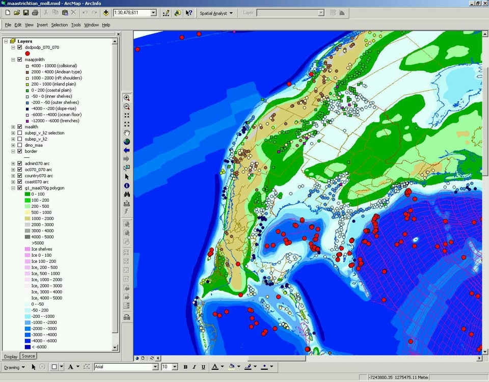
Figure. A screen capture showing part of the Maastichtian palaeogeography in ArcGIS (ESRI). The different layers representing the intepreted topography and bathymetry, synthetic isochrons and other datasets.
|
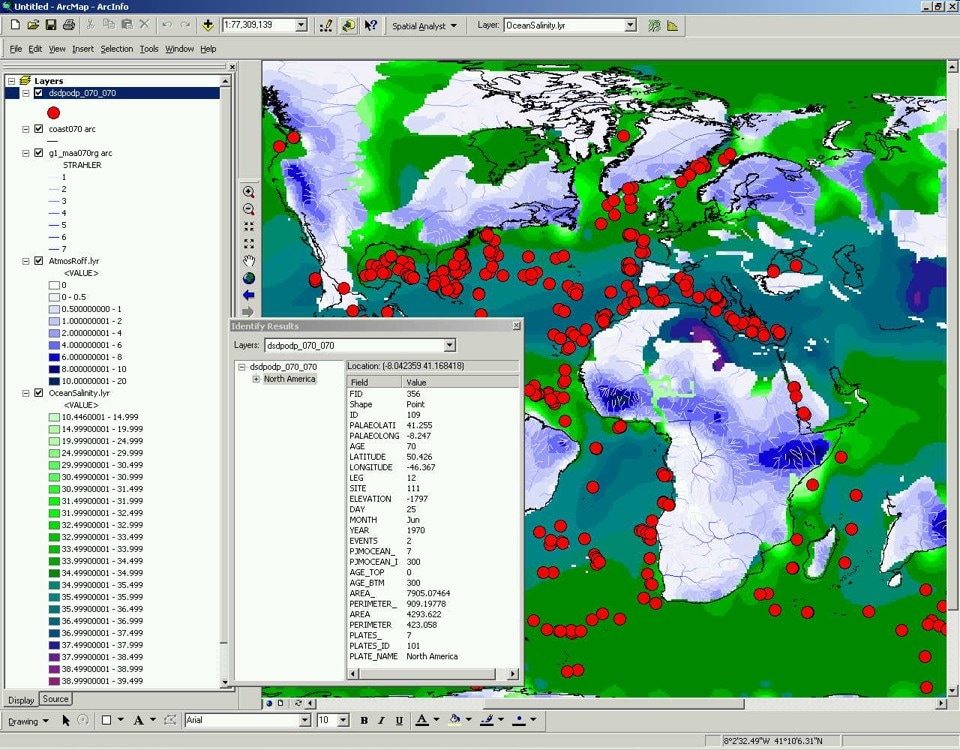
Figure. A screen capture showing the application of ArcGIS (ESRI) to analyzing the results of climate and ocean modelling experiments, in this example the runoff results for the Maastrichtian (Markwick et al., 2002; Markwick & Valdes, 2003).
|