The following FAQ is taken direcly from my original website. If you have questions do please send me an e-mail.
|
Q. What are these maps?
|
These maps are a series of Cretaceous - Recent palaeogeographic maps that were originally compiled for use in my PhD thesis (Markwick, 1996) using the methodologies developed by Professor Fred Ziegler and his team in the Paleogeographic Atlas Project, The University of Chicago. The maps were not completed until 1997 and my postdoc at the University of Reading (Markwick et al., 1999; 2000). They are based on a limited set of maps produced at the University of Chicago by the Paleogeographic Atlas Project for 13 time-slices throughout the Mesozoic and Cenozoic. I have added additional time-slices such that every stage of the Cretaceous and sub-epoch of the Cenozoic were completed and eventually published in 2007.
An updated set of maps were begun in 1997 that included palaeoDEMs, palaeorivers and bathymetries. The methologies were later presented at various conferences (Markwick et al., 2001; 2002; Markwick & Valdes, 2003) and an example for the Maastrichtian was published in 2004. These maps have been used by numerous researchers in the US, Europe and the UK, and the methodologies form the basis for global palaeogeography based products used in the oil and has exploration industry (see publication list). |
|
Q. Why are there no rotated coastlines or grids?
|
All of the data (rotated detailed modern coastlines, countries, provinces, rivers, and 1 degree grid) have been compiled in ArcGIS as both shapefiles and coverages. I haven't included them on some of the lower resolution maps, because doing so would make the figures (at this low resolution) very busy and obscure the geographies. They are shown on the polar projection images for each timeslice. However, care must be taken in looking at the details of these maps since the original compilations were made at a low resolution (on A3 maps) using only a very coarse coastline and 5 degree grid, which was all I had available at the time (see below). With the more detailed basemaps now available, a more precise series of geographies for general use is in preparation.
|
|
Q. What format?
|
All of my palaeogeographic, palaeoclimate and palaeoecological work is now done through GIS; specifically ESRI's ArcGIS and it's precursors ArcView 3.3 and ARC/INFO. These shapefiles and coverages are complemented by jpeg versions, some of which are available on this web site.
Other formats are available on request. |
|
Q. What is the source of the data used for these maps?
|
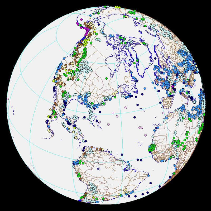
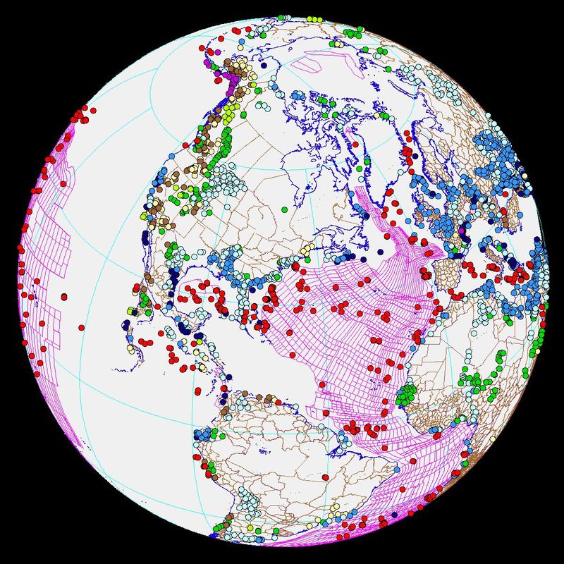
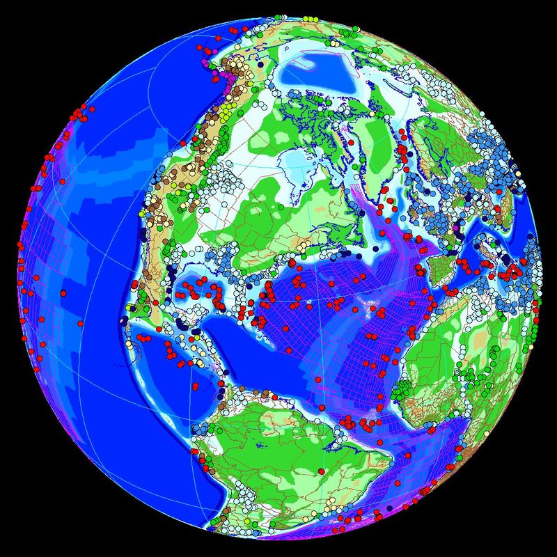
The maps are compiled using data from my own databases of lithologic, tectonic and fossil information, the lithologic databases of the Paleogeographic Atlas Project (The University of Chicago), a survey of published literature, and DSDP / ODP data. Interpretations of elevation are derived following the methods outlined in Ziegler et al (1985), an understanding of the tectonic regime and evolution of each feature, and the age-depth relationship for the ocean. The latest Maastrichtian DEM work (Markwick and Valdes, 2004) also draws heavily on a study of modern drainage systems.
|
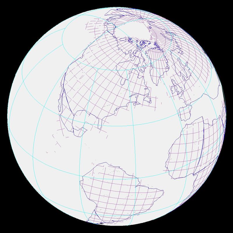
ABOVE: Orthographic views showing the distribution of data used in the compilation of each map (see Markwick and Valdes, 2004, for further detail).
|
Q. How can I cite these maps?
|
These maps have now been formerly published as part of a paper on climate proxies and data-model comparisons; details and a pdf of this paper (Markwick, 2007) can be found in the Publications section of this website.
|
|
Q. Are these maps available?
|
A large number of researchers have been using these maps since they were drawn in 1997. Students, researchers, etc., are welcome to download the images for research, although bare in mind the low resolution, which really does not do justice to the maps. The shapefiles are available on request.
|
|
Q. You talk about Generation II maps. What do you mean?
|
The generation II maps take palaeogeography a step further since they'll have been compiled entirely in ArcGIS and therefore can be more properly attributed. The maps will also be completely be re-drawn based on a more detailed literature search, and a greatly modified set of plate rotations. Based on lessons learned from the Maastrichtian DEM and drainage work (Markwick et al., 2001, 2002) there will also be a more detailed treatment of palaeo-drainage. In truth, part of the delay in getting the Generation I maps submitted is that I've already started on the Generation II maps. A problem of knowing what can be done, trying to do it, but having to work around a full time (non-academic) job at the same time.
|
|
Copyright © 2017-2021 Paul Markwick
|
E-mail: paulmarkwick@me.com
|


